just a short update here, as we were heading out of flagstaff we saw on the news that needles, a town near joshua tree had forecasted highs of 110, 43.3 in celsius, we thought that joshua tree would be a cool oasis in the middle of the desert.
when we got into joshua tree it was around 1 pm but we had to set up the tent and go meet my cousin barry for lunch and by the time we got back to our campsite it was much cooler and around high 80s, we sampled the granite climbing in the area and found it to be a lot of slab climbing and also greasy.
the next day however we decided to cut our trip to j-tree short when around noon the temperature in our tent was around 120.
that night however we went for a final hike and managed to not only see a herd of bighorn sheep hanging out on the rocks but also saw four males battling and butting heads over a female.
the next day we drove out around 9 am and we are now in santa barbara, which is very beautiful and a little bit colder then joshua tree.
photos of j-tree and santa barbara to come at some point.


 Our Campsite
 Some Native american ruins and Pueblos




 Some petrified wood at Petrified Forest National Park
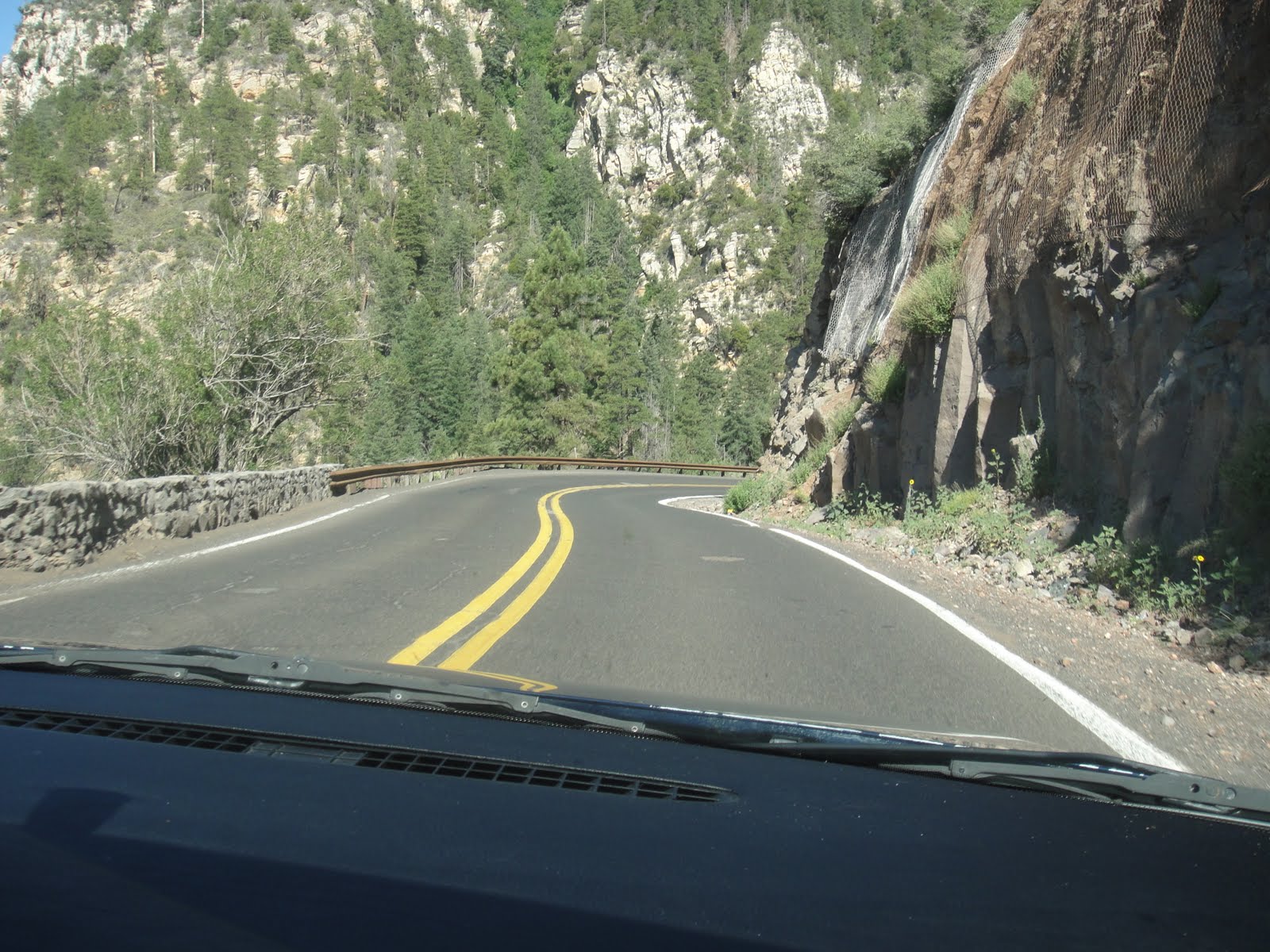
 Hiking around sedona (the sphinx formation is in the background)
 At the top of the Sugarloaf Hill trail
 Noah with chimney rock in background
 This is sunset crater a new-ish volcano that erupted about 500 years ago. Because of the way that it erupted. many cinder cones were formed in the area that are basically mounds of volcanic basalt.

 Climbing at "the Pit" with Graham in Flagstaff Az


 The view from ooh-aah point
 Noah with a century Yucca. It blooms once every 10-15 years but early people named it this because it felt like forever to them (a century)
 At Cedar Ridge

 View on the way back up
 The snow/hail on the side of the road
